新编英美概况:第3次修订版
-
1.1出版者的话
-
1.2第4版前言
-
1.3Part one The United States of America
-
1.4Chapter 1 Geographical Features and Natural Resour...
-
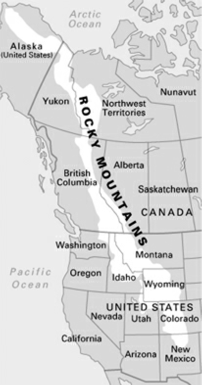
1.4.11.Location and Geographical Divisions
-
1.4.22.Climate
-
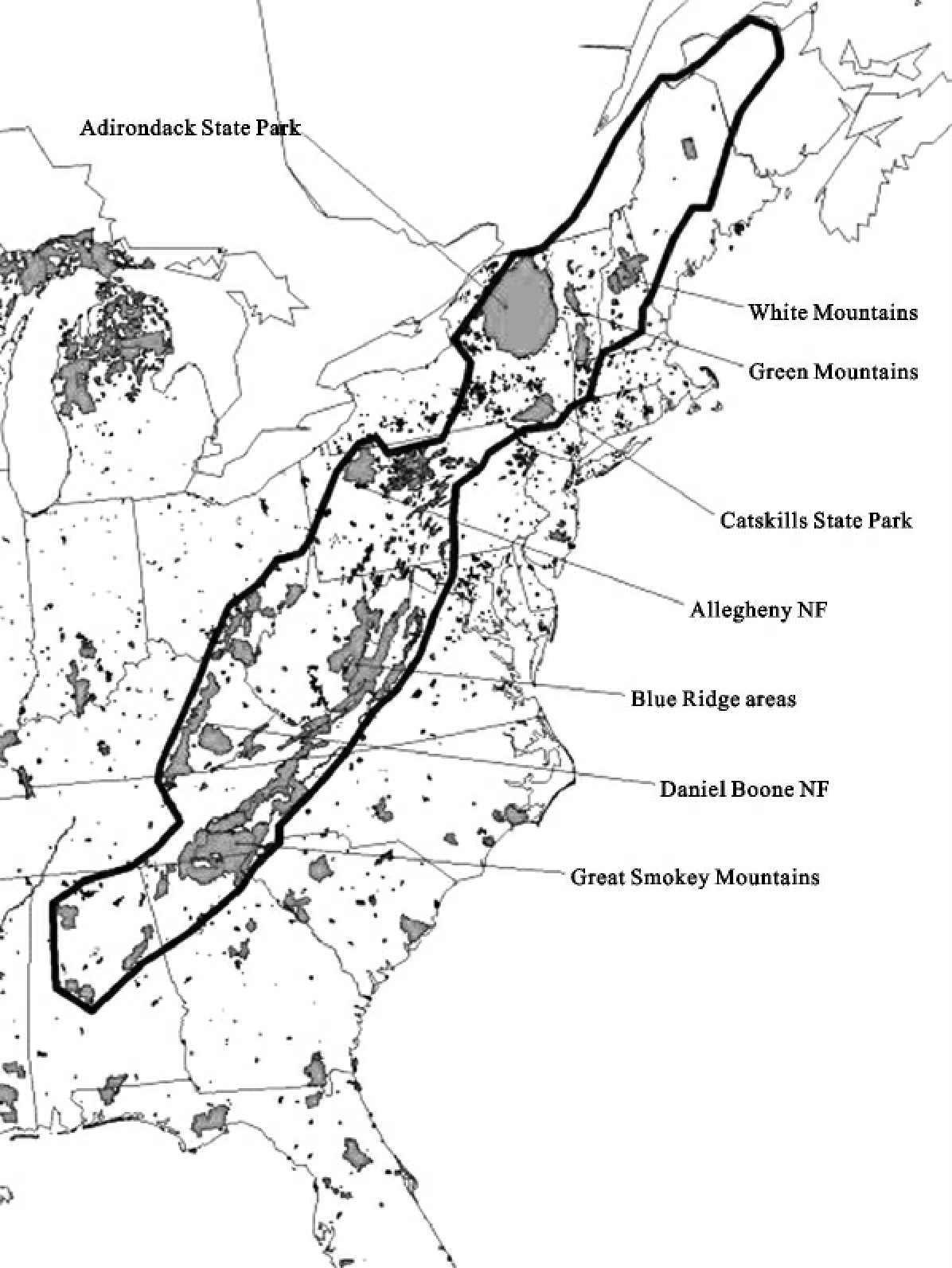
1.4.33.Natural Resources
-
1.5Chapter 2 American Population
-
1.5.11.Composition of the US Population
-
1.5.22.Population Distribution
-
1.5.33.Internal Migration
-
1.6Chapter 3 Discovery and Colonization of the New Wo...
-
1.6.11.American Indians and Great Discoveries
-
1.6.22.Colonization of the New World
-
1.6.33.Governmental and Social Structures of the 13Colo...
-
1.7Chapter 4 American Revolution
-
1.7.11.Britain’s Policy to American Colonies
-
1.7.22.The Road to the Revolution
-
1.7.33.The Outbreak of War and the Second Continental C...
-
1.7.44.Declaration of Independence and the Revolutionar...
-
1.8Chapter 5 The Confederation and the Constitution
-
1.8.11.Articles of Confederation
-
1.8.22.Constitutional Convention
-
1.8.33.Opinions on the Ratification Issue
-
1.8.44.The New Government and the Louisiana Purchase
-
1.8.55.The War of 1812
-
1.9Chapter 6 American Expansion and the Civil War
-
1.9.11.Monroe Doctrine
-
1.9.22.Westward Movement
-
1.9.33.Economic Antagonism Between North and South
-
1.9.44.The Way to the Civil War
-
1.9.55.Civil War
-
1.10Chapter 7 Reconstruction and the Birth of US Imper...
-
1.10.11.Reconstruction in the South
-
1.10.22.Becoming a Great Industrial Power
-
1.10.33.Becoming an Imperial Power
-
1.11Chapter 8 World WarⅠand the Depression
-
1.11.11.World WarⅠ
-
1.11.22.America’s Entrance into the War
-
1.11.33.Peace Conference of 1919
-
1.11.44.Era of Prosperity and the Coming of Great Depres...
-
1.11.55.Franklin Roosevelt and His New Deal
-
1.12Chapter 9 America During and After World WarⅡ
-
1.12.11.From Isolation to Intervention
-
1.12.22.Important Conferences During World WarⅡ
-
1.12.33.The Cold War and Civil Rights Movement
-
1.12.44.From Eisenhower to Clinton
-
1.12.55.George Walker Bush and Barack Obama
-
1.13Chapter 10 The Federal System and Congress
-
1.13.11.The Three Basic Principles of US Political Syste...
-
1.13.22.The Membership and Powers of Congress
-
1.13.33.Leadership and Committees in Congress
-
1.13.44.How a Bill Becomes a Law
-
1.14Chapter 11 The President and the Judiciary
-
1.14.11.The President and His Powers
-
1.14.22.The Organization of Executive Branch
-
1.14.33.The Federal Court System
-
1.14.44.The State Court System
-
1.15Chapter 12 Political Parties and Elections
-
1.15.11.The Development of Political Parties
-
1.15.22.The Structure and Function of Political Parties
-
1.15.33.Differences Between Democrats and Republicans
-
1.15.44.Voting and Elections
-
1.15.55.Electing President
-
1.16Chapter 13 American Education
-
1.16.11.Introduction
-
1.16.22.Elementary and Secondary Education
-
1.16.33.Higher Education
-
1.17Chapter 14 The Mass Media
-
1.17.11.Evolution of Newspapers and Magazines
-
1.17.22.Radio and Television
-
1.17.33.The Information Highway
-
1.18Chapter 15 American Family and Character
-
1.18.11.American Family
-
1.18.22.American Character and Customs
-
1.19Chapter 16 Religion in the United States
-
1.19.11.Christianity
-
1.19.22.Christian Religion in America
-
1.19.33.Non-Christian Religions in America
-
1.20Aart Two The United Kingdon of Great Britain and N...
-
1.20.1Chapter 1 Geographical Features and Natural Resour...
-
1.20.1.11.Geographical Features
-
1.20.1.22.Climate
-
1.20.1.33.Rivers and Lakes
-
1.20.1.44.Natural Resources
-
1.20.2Chapter 2 Population of the United Kingdom
-
1.20.2.11.The English
-
1.20.2.22.The Welsh
-
1.20.2.33.The Scots
-
1.20.2.44.The Irish
-
1.20.2.55.Immigrants
-
1.20.3Chapter 3 The Origins of a Nation
-
1.20.3.11.Early Settlement(-55BC)
-
1.20.3.22.Roman Britain(55BC-410)
-
1.20.3.33.Anglo-Saxon Times(446-871)
-
1.20.3.44.The Danish Invasion
-
1.20.3.55.The Normans
-
1.20.4Chapter 4 Feudal England
-
1.20.4.11.Consolidation of Monarchy
-
1.20.4.22.The Great Charter and the Beginning of Parliamen...
-
1.20.4.33.The Hundred Years’War(1337-1453)
-
1.20.4.44.The Black Death and Peasant Uprising
-
1.20.4.55.The Wars of the Roses(1455-1485)
-
1.20.5Chapter 5 England Under the Tudors
-
1.20.5.11.The Consolidation of the New Monarchy
-
1.20.5.22.Reformation
-
1.20.5.33.ElizabethⅠ
-
1.20.5.44.The English Renaissance
-
1.20.6Chapter 6 The Bourgeois Revolution
-
1.20.6.11.The Absolute Rule of the Stuarts
-
1.20.6.22.The Civil Wars
-
1.20.6.33.The Commonwealth
-
1.20.6.44.The Restoration and the“Glorious Revolution”
-
1.20.7Chapter 7 Hanoverian England and Industrial Revolu...
-
1.20.7.11.The Georges
-
1.20.7.22.Industrial Revolution
-
1.20.7.33.The Chartist Movement(1836-1848)
-
1.20.7.44.Cultural Results of the Industrial Revolution
-
1.20.8Chapter 8 Party Politics and Colonial Expansion
-
1.20.8.11.Party Politics and Reforms
-
1.20.8.22.Trade Unions and the Labour Party
-
1.20.8.33.Colonial Expansion
-
1.20.9Chapter 9 Britain in the Two World Wars
-
1.20.9.11.Britain and World WarⅠ
-
1.20.9.22.Britain Between the Two Wars
-
1.20.9.33.Britain and World WarⅡ
-
1.20.9.44.The Postwar Britain
-
1.20.10Chapter 10 British Monarchy and Government
-
1.20.10.11.The Monarchy
-
1.20.10.22.The Executive and Administration
-
1.20.10.33.The Privy Council
-
1.20.10.44.Local Government
-
1.20.11Chapter 11 Parliament and Judicial System
-
1.20.11.11.The House of Lords
-
1.20.11.22.The House of Commons
-
1.20.11.33.The Passage of Bills
-
1.20.11.44.The Judicial System
-
1.20.12Chapter 12 Political Parties and Election
-
1.20.12.11.The Development of Parties
-
1.20.12.22.The Conservative Party
-
1.20.12.33.The Labour Party
-
1.20.12.44.The Liberal and Other Minor Parties
-
1.20.12.55.Election
-
1.20.13Chapter 13 Education
-
1.20.13.11.Provisions of Education
-
1.20.13.22.Primary Education
-
1.20.13.33.Secondary Education
-
1.20.13.44.Independent Schools
-
1.20.13.55.Higher Education
-
1.20.14Chapter 14 Mass Media
-
1.20.14.11.Broadcasting
-
1.20.14.22.Newspapers and Magazines
-
1.20.15Chapter 15 British Family Life,Character and Custo...
-
1.20.15.11.Marriage
-
1.20.15.22.Meals and Drinks
-
1.20.15.33.Social Contact
-
1.20.15.44.Conservatism and Temperament
-
1.20.15.55.Privacy
-
1.20.15.66.Customs Connected with the King or Queen
-
1.20.16Chapter 16 Religion in the United Kingdom
-
1.20.16.11.Anglican Church
-
1.20.16.22.Roman Catholic Church
-
1.20.16.33.Nonconformist Churches
-
1.20.16.44.Presbyterian Church
-
1.20.16.55.The Decline of Religion
-
1.20.17Appendices
-
1.20.17.1Appendix Ⅰ Admission of States to the Union
-
1.20.17.2Appenix Ⅱ The US Presidents
-
1.20.17.3Appenix Ⅲ Population of the United States,1790-201...
-
1.20.17.4Appenix Ⅳ Prime Ministers of the United Kingdom
-
1.20.17.5Appendix Ⅴ English and British Monarchs